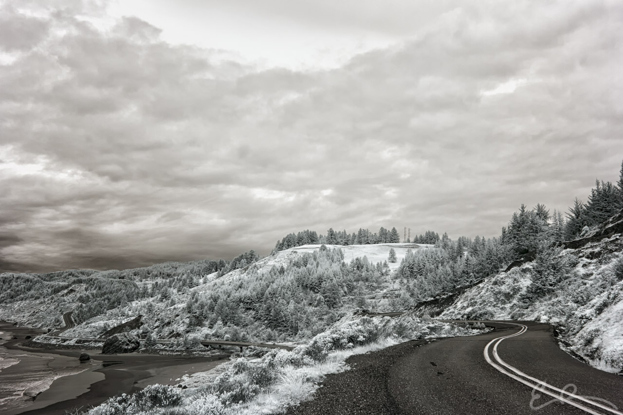
 After finishing our trip along Carpenterville Road we continued north just skirting US-101 to the east. I tried to keep to various small roads that ran along the coast. This is one of those roads. This was taken from along Cape View Loop, which is to the right, and looks down onto US-101, in the distance on the left. As we continued north I started to get dismayed as the sky started to get cloudier and cloudier which would make infrared photography difficult (map).
42°18’7″ N 124°24’36” W

Published in Byways Infrared Landscapes Roads
Comments