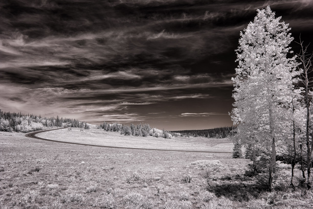
 After enjoying our hike along Ramparts Trail, we left the Visitor’s Center area of Cedar Breaks National Monument and turned north. We stopped and parked the car at the Chessman Ridge Overlook and set off to hike the Alpine Pond Trail. Before we disappeared into the denser forest I took a moment to grab this shot of UT-148 as it snakes its way through the park (map).
37°37’55” N 112°49’55” W

Published in Byways Infrared Landscapes Roads
Comments