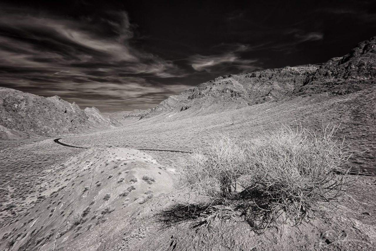
 Here is another image of Valley of Fire Highway just outside the official entrance into the park. This vantage point is up a small hill and to the east of my last photo. You can see where the road flows through the valley and out at the far end. This is where the official entrance to the park is located. From this point you can barely make out any red rock formations; however, once you enter the park and drive around the corner they hit you like a ton of bricks (map).
36°24’27” N 114°35’11” W

Published in Byways Infrared Landscapes Roads
Comments