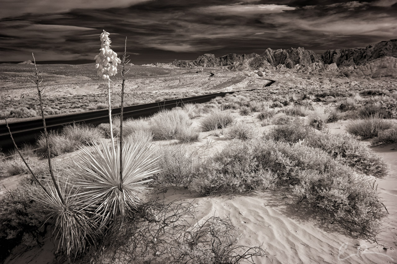
 Another shot from along Mouse’s Tank Road in Valley of Fire State Park for my Byways Project. While I was driving north along the road another yucca, similar to the one you see here, caught my eye. I pulled over at the next pull out and started walking south. Along the way I came upon this yucca and started shooting. It was rather windy that day and the clouds kept obstructing the sun, limiting the infrared response. I spent about 15 minutes here snapping this one yucca to achieve what you see here (map).
36°28’15” N 114°31’33” W

Published in Byways Infrared Landscapes Roads
Comments