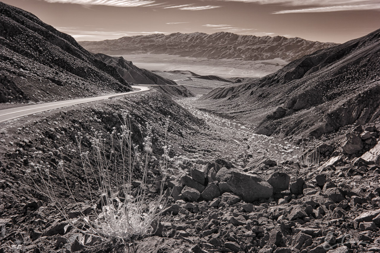
 Final image from my early January trip to Death Valley. As I started down into Panamint Valley along CA-190 I pulled over, hiked to the top of this rock pile, and pointed my camera west. I must say I’m pleasantly surprised with the end result. The original straight out of camera didn’t really impress me, but this image really came to life after processing (map).
36°21’54” N 117°17’11” W

Published in Byways Infrared Landscapes
Comments