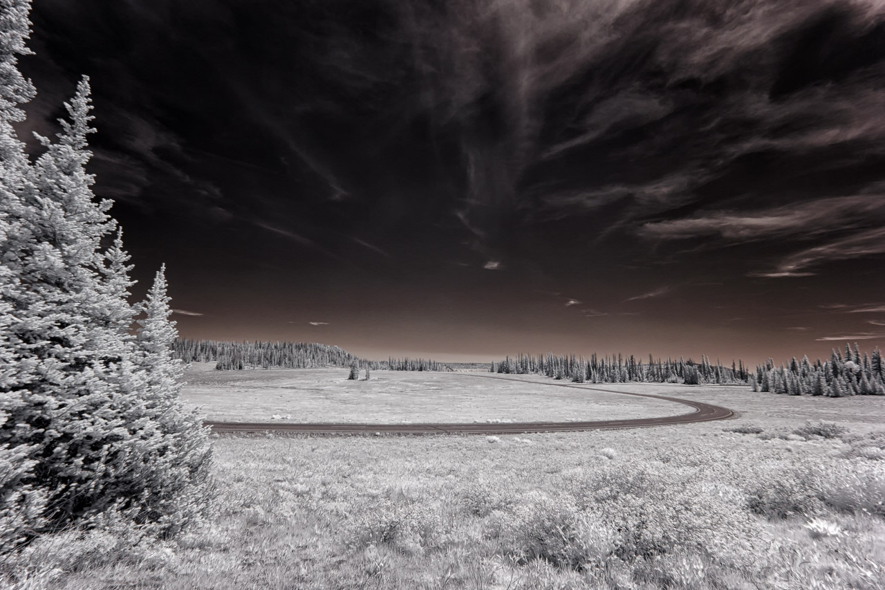
 After enjoying a majority of the Alpine Pond Trail, we emerged from the dense forest pines to the same meadow we started off from. With UT-148 snaking its way through the monument, I had to setup the camera and take another shot (map).
37°38’0″ N 112°49’46” W

Published in Byways Infrared Landscapes Roads
Comments