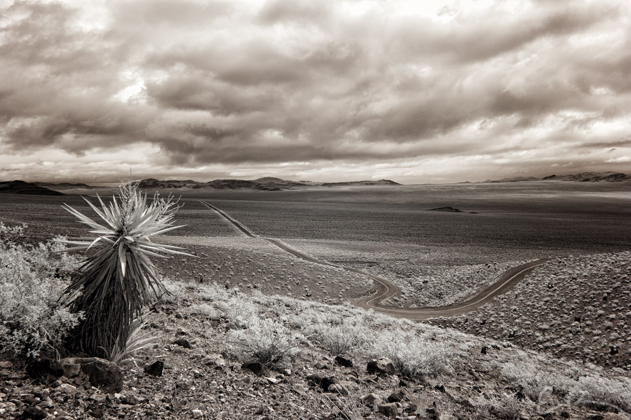
 Looking east into Mesquite Valley from Emigrant Pass along the Old Spanish Trail Highway approximately 11 miles east of Tecopa, California (map).
This is the beginning of a new project/collection of images I’m calling Byways. The images will be titled the GPS coordinates where they were captured. My idea is to create a collection of roads that are a little off the beaten track that you may not even know exist.
Comments