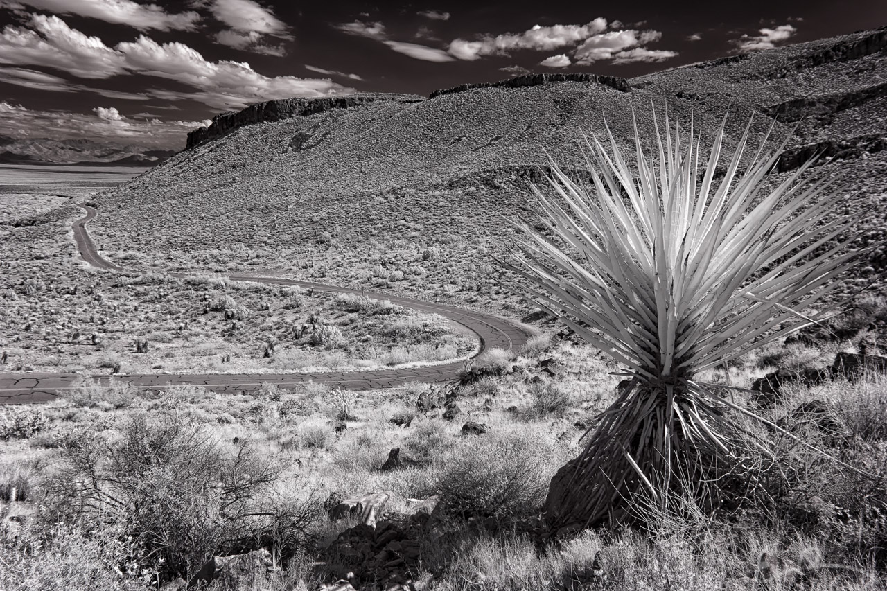
 Continuing west towards Oatman from Cool Springs, I came to the curves in the road you see here. I knew that I wanted to get a shot of them, but shooting them from road level wasn’t going to work. I grabbed my hiking boots and started hiking up the nearby hill to see if I could find a good vantage point. I kept climbing higher and higher until I was at the top of the hill. At this point I had a good view and could see a good stretch of road, but I wanted a good foreground element. As I scanned the hillside I spotted this amazing yucca and climbed down to it (map).
35°1’53” N 114°19’17” W

Published in Byways Infrared Landscapes
Comments