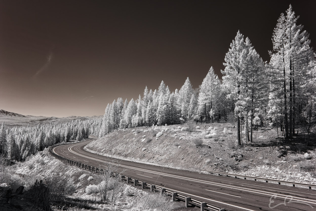
 Hands down one of my favorite shots from the day of driving from Reno, Nevada to Crescent City, California, and one of my favorites from the entire trip. This is another shot looking south along CA-89 approximately 45 miles south of Mt. Shasta, California. Driving through this area I drove through the curve and knew I wanted to stop. I pulled over out of frame to the right. I then had to hike up a small embankment and then proceeded south to this vantage point. I really like the way the road curves and moves through the entire scene (map).
41°6’46” N 121°38’20” W

Published in Byways Infrared Landscapes Roads
Comments