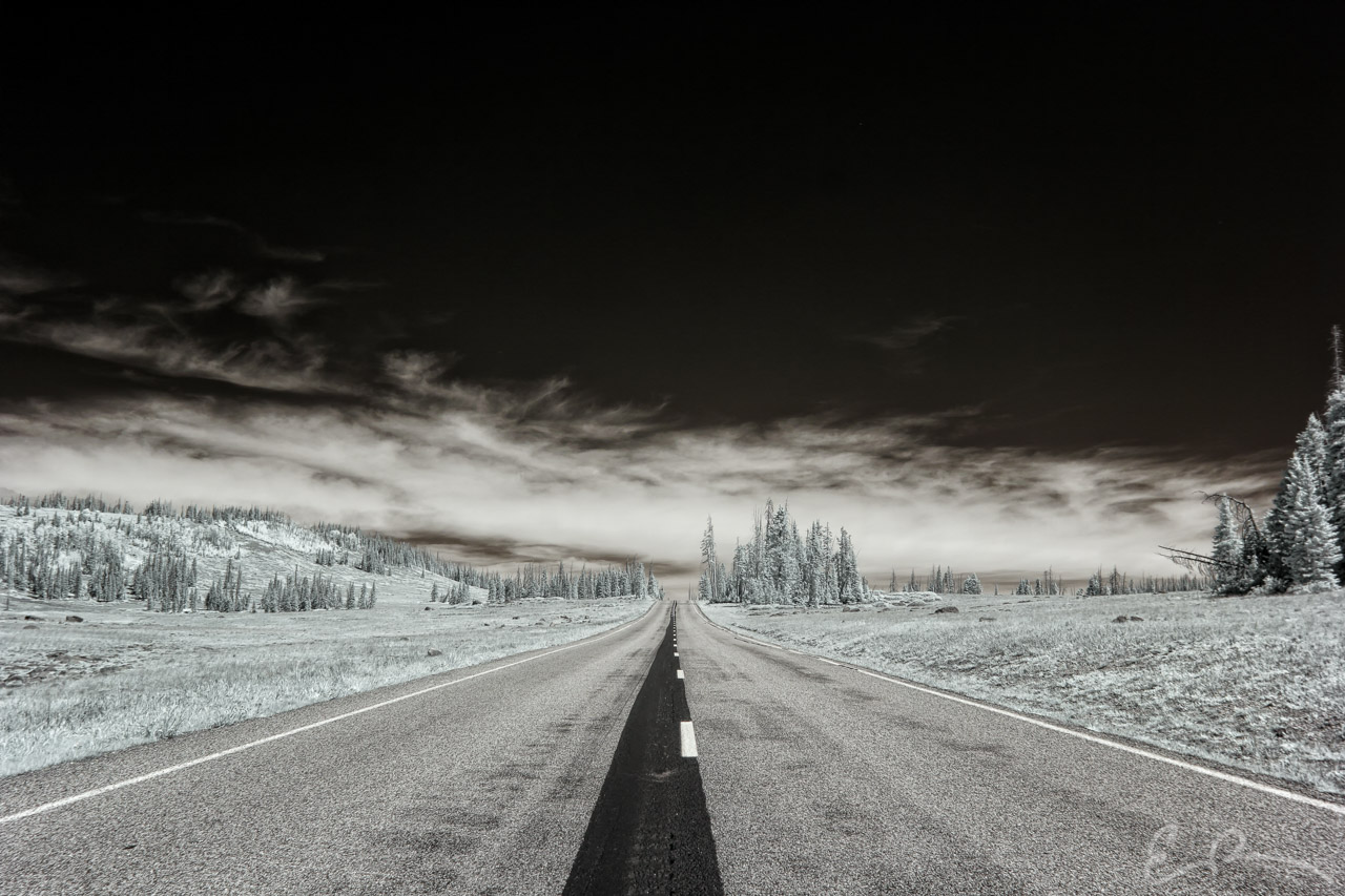
 A few miles after my last shot we had to hang a left to run north on to UT-148 which would lead us to Cedar Breaks National Monument. Before we got there we found this lovely little stretch of road cutting right through a pleasant mountain meadow (map).
37°35’29” N 112°50’57” W

Published in Byways Infrared Landscapes Roads
Comments