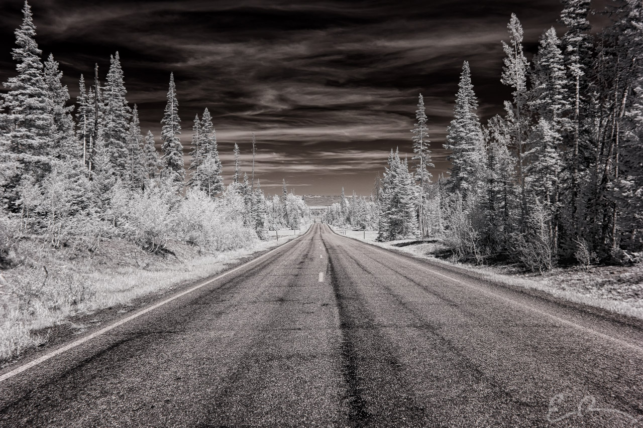

Having wrapped up our hiking adventures in Cedar Breaks National Monument it was time for us to cruise along UT-143 with our destination being Panguitch, UT. The plan was we would stay there over the next couple days while driving into Bryce Canyon in the morning.
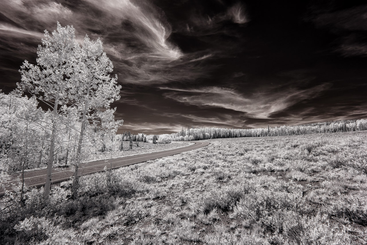
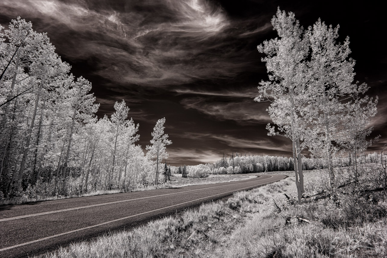
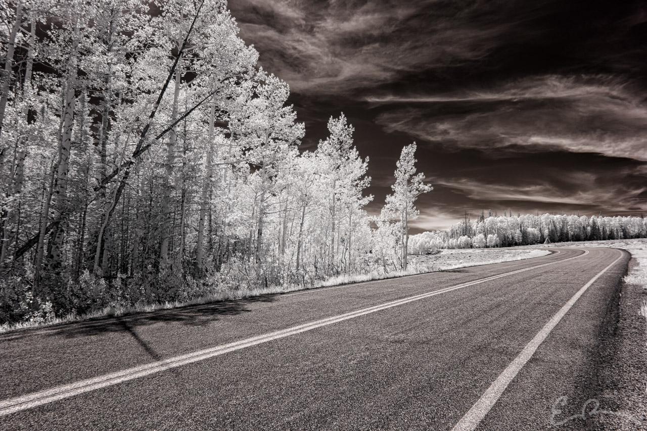
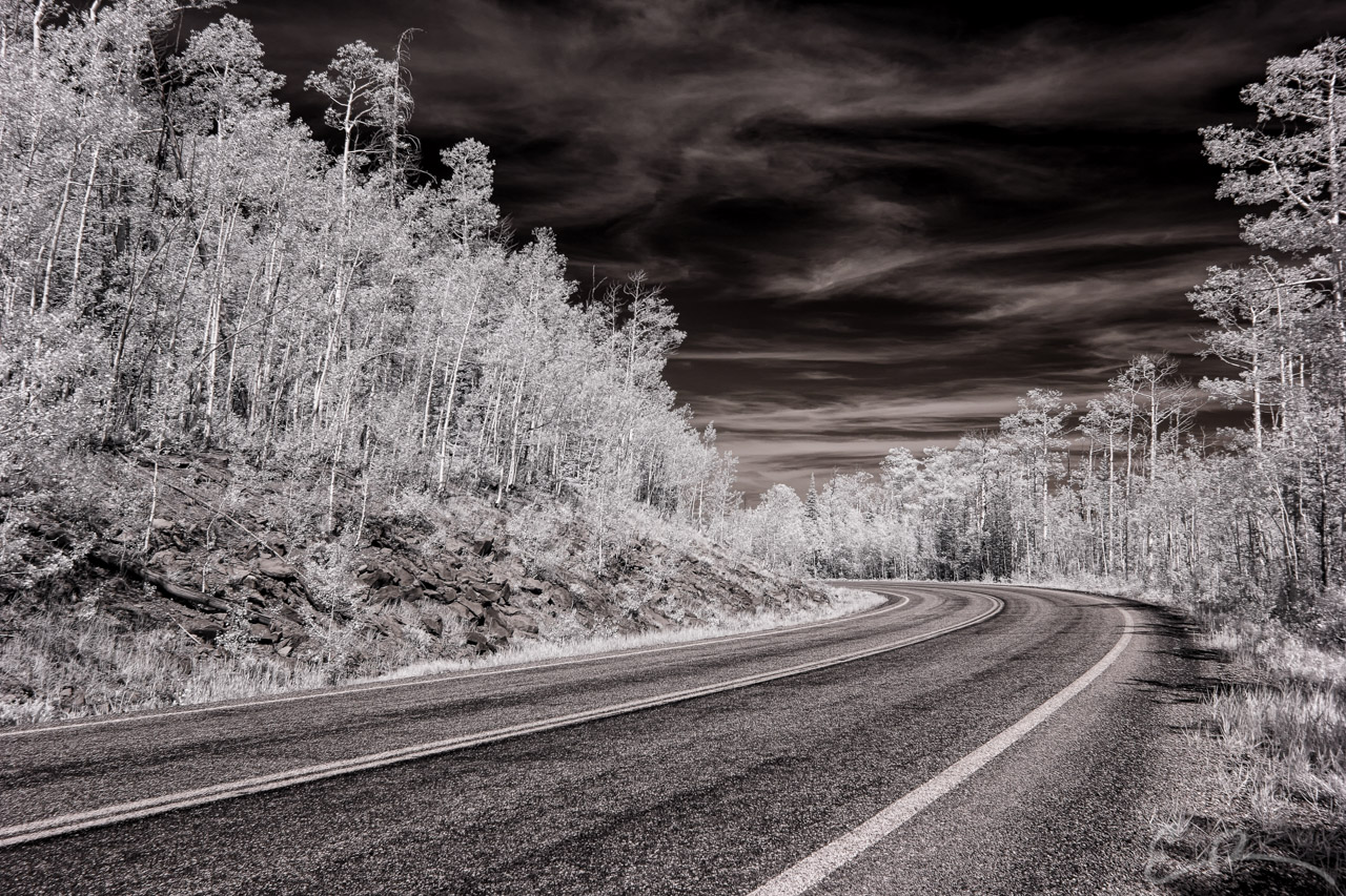
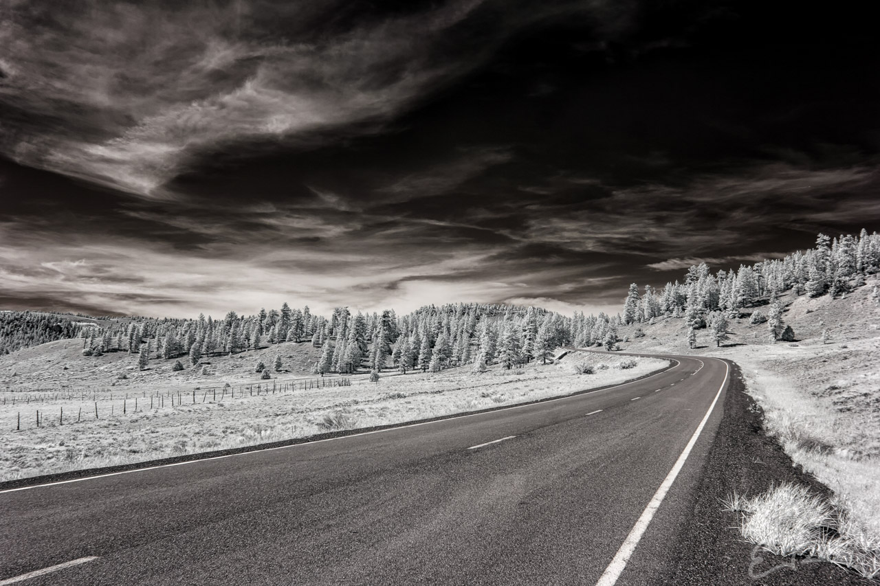
Of course along the way I found some amazing landscapes and beautiful subjects to add to my Byways series. The middle 4 images were are shot at the same bend in the road. The first three were shot looking west while the fourth was facing east.
Once we checked in to our hotel in Panguitch we ate dinner and I convinced my daughter to venture back out with me back to Cedar Breaks National Monument to try for a sunset shot. How that turned out, you’ll have to wait and see.
Map loading, please wait ...
Map of Locations Pictured
Comments