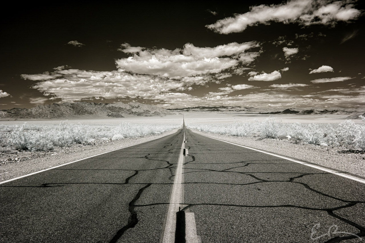
 After my brief detour into the Death Valley desert I continued my drive south along CA-127 towards Baker. Just before a curve in the road I pulled over to take northern facing picture back across the valley. Point to point, according to Google Maps, this is 8 miles away from where I took a southern facing photo across the same valley. You can see it here. At this point I’m still 29 miles north of Baker and almost the exact southeastern point of Death Valley National Park (map).
35°37’43” N 116°17’23” W

Published in Byways Infrared Landscapes Roads
Comments