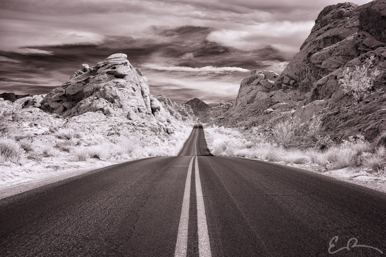
 Another Byways Project shot from Valley of Fire State Park taken along Mouse’s Tank Road which leads from the visitor’s center to White Domes (map).
36°26’49” N 114°30’57” W

Published in Byways Infrared Landscapes Roads
Another Byways Project shot from Valley of Fire State Park taken along Mouse’s Tank Road which leads from the visitor’s center to White Domes (map).
Published in Byways Infrared Landscapes Roads
Comments