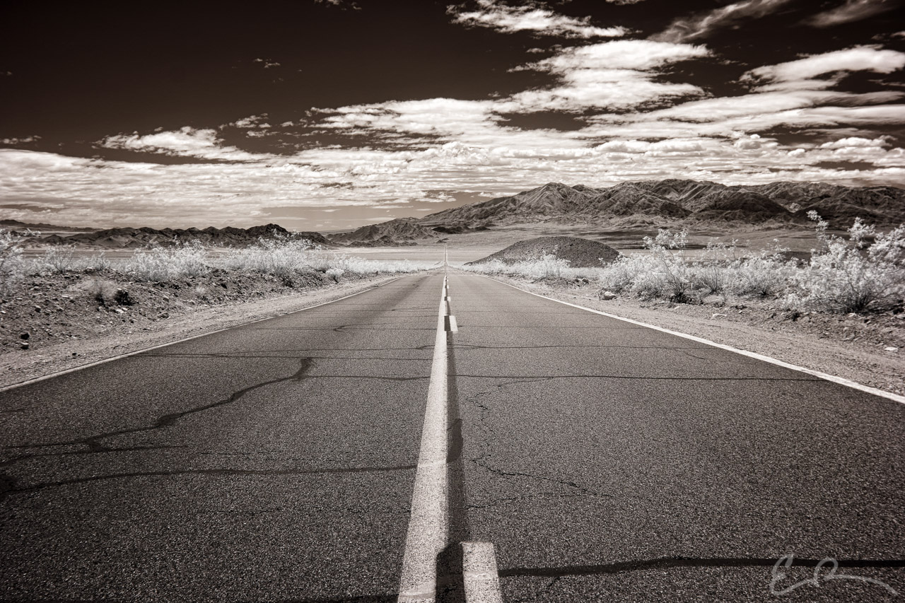
 I continued driving west, passed through Tecopa and came to a junction with CA-127. Right would take me into Death Valley and left to Baker. I turned left for Baker and lunch and eventually home. As I drove I came around a series of corners and the valley opened up in front of me. The road laid out in front of me in a perfectly straight line. I had to pull over. This is approximately 37 miles north of Baker (map).
35°44’38” N 116°18’50” W

Published in Byways Infrared Landscapes Roads
Comments