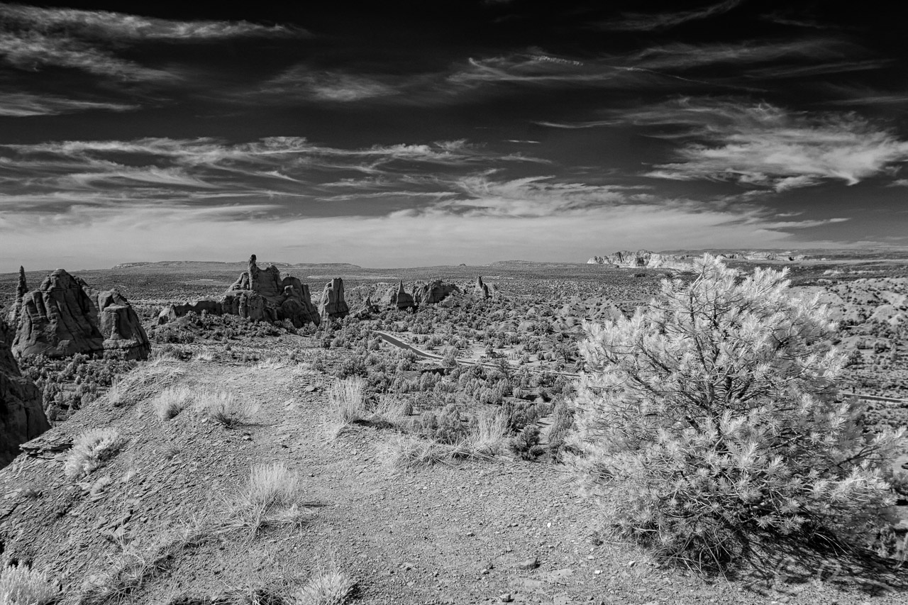
The views from on high kept getting better and better. You can see here where the trail continued on along the ridge and out to a point that afforded a great view of the entire park (Google Map).

The views from on high kept getting better and better. You can see here where the trail continued on along the ridge and out to a point that afforded a great view of the entire park (Google Map).
Published in Byways Infrared Landscapes Roads
Comments